Why Austrian “Valley Addresses” Can Be So Tricky (and How to Find the Right Place Anyway)
In many Austrian regions, a village name isn’t enough. Here’s why valleys, scattered hamlets and similar place names confuse deliveries—and how to navigate it.
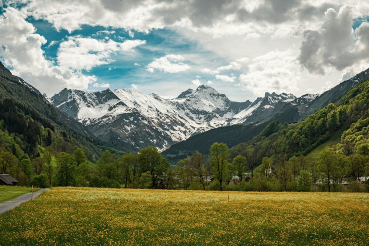
- In alpine regions, one municipality can contain many small settlements—so the “place name” you hear may not match what maps or forms expect.
- Street names and house numbers aren’t always the main navigation system; local names, valleys and hamlets still matter in daily directions.
- Using the full address (plus municipality, postal code, and helpful extras like “Ortsteil” or coordinates) prevents delivery, service and GPS mix-ups.
When “the village name” isn’t the address
Imagine you’re meeting a friend in the mountains. They text you: “Come to Au, we’ll have coffee.” If you live in a city, that sounds perfectly clear. But in Austria, “Au” can be a tiny settlement name used in everyday speech, a neighborhood inside a larger municipality, or a name shared by multiple places across different states. If you type only “Au” into a navigation app, you might end up in a completely different region—or you’ll be asked to pick from a list that looks like a quiz.
This is one of those small, practical realities that people often discover only after something goes wrong: a parcel arrives late, a taxi ends up on the wrong side of a valley, or a technician calls saying, “I’m here… but there’s no such street.” The reason isn’t that the driver is careless. It’s that in many Austrian regions—especially alpine ones—settlement patterns grew long before modern street systems and standardized addressing. People didn’t live around a single compact village square. They lived in scattered hamlets along a valley floor, on sunny slopes, or in side valleys—each with its own local name that still gets used today.
So you can have a situation where the name locals use (the hamlet/valley name) and the name your official forms want (the municipality) aren’t the same thing. Add postal codes, similar-sounding place names, and mountain geography that forces long detours, and you get a recipe for confusion that feels uniquely “regional”—and very real in everyday life.

How Austria’s geography shaped “valley-style” addresses
Austria’s settlement map isn’t uniform. In flatter regions, towns and villages tend to be more compact. In many alpine areas, however, the landscape strongly dictates where people can build: along rivers, on terraces, on gentle slopes, and wherever avalanches and rockfall are less threatening. Over time, that leads to a municipality made up of many small clusters rather than one single “town.”
Now fast-forward to modern life: online shopping, food delivery, mobile technicians, caregivers, ridesharing, guests arriving for a holiday apartment, or someone trying to register their address on an insurance form. All these systems want a clear, standardized location. But the way locals talk about places still follows the landscape: “up the valley,” “in the side valley,” “at the last houses before the pass,” or “in the hamlet above the church.”
Here’s a simple analogy: in a city, your “neighborhood” might help socially (“I live in Neubau”), but your delivery depends on the street, number, and floor. In a valley municipality, the local “neighborhood” name can be just as important as the street—sometimes more important—because it’s how people actually find each other in a spread-out area with winding roads.
A typical real-life scenario: You book a holiday apartment called “Haus Sonnleiten, Ortsteil Brand.” You arrive in the municipality, but the navigation app takes you to the main village center. You see no sign for “Brand,” and “Sonnleiten” isn’t a street. Ten minutes later you realize “Brand” is a side settlement a few kilometers away, and the apartment name is the building name locals recognize, not an official street label.
To make it more concrete, here are some common “layers” of place information you’ll encounter in Austria:
| What people say | What it often means | Why it can confuse outsiders |
|---|---|---|
| Valley or hamlet name (e.g., “im Tal”, “in X-Graben”, “in Au”) | A small settlement area inside a larger municipality | May not appear as a selectable “city” in online forms |
| Municipality name (Gemeinde) | The official administrative unit for addresses | Locals may rarely use it in casual directions |
| Street + house number | Standard postal addressing where available | In scattered areas, street naming can be inconsistent or less intuitive |
| Building/house name (“Haus Alpenblick”) | A traditional or locally known property name | Helpful for humans, unreliable for apps and couriers unless included as extra info |
None of this is “wrong.” It’s the result of two systems coexisting: the administrative system designed for clarity across the country, and the lived geographic system designed for making sense of a valley in daily conversation.
How to avoid mix-ups: practical tips that actually help
If you’ve ever had a package go missing or a service appointment turn into a phone-call marathon, the good news is: small changes in how you write and share an address can save a lot of time. Think of it as giving both humans and machines the information they’re best at using.
1) Use the full “official” address—and add the local layer as extra.
A good pattern is: Street + house number, postal code, municipality—and then add the hamlet/Ortsteil/building name on a separate line or in the “additional info” field. Many delivery and booking systems have a second address line exactly for this purpose.
- Example (official core): Dorfstraße 12, 5730 Mittersill
- Example (extra clarity): Ortsteil Felben / Haus Sonnleiten (2. driveway after the bridge)
2) When giving directions, think like a visitor—not like a local.
Locals can say “after the second chapel, keep left,” because everyone knows which chapel that is. Visitors don’t. If you’re expecting a guest, courier, nurse, or tradesperson, consider sending a short message that includes:
- a recognizable waypoint (supermarket, petrol station, major intersection),
- one clear turning instruction,
- and a detail that helps confirm arrival (house color, mailbox name, gate).
3) Don’t rely on a place name alone—combine it with the postal code.
Austria’s postal codes are often the simplest “disambiguation tool.” If you have a common settlement name, the postal code anchors it to the right region. This matters for:
- online shopping checkouts,
- appointment bookings,
- delivery services that auto-suggest locations,
- and even emergency callbacks when describing where you are.
4) If a system rejects your “Ortsteil,” don’t fight it—move it.
Some forms only accept the municipality as “city.” In that case, enter the municipality where required and put the valley/hamlet name into:
- Address line 2 (“c/o”, “Ortsteil”, “Gebäude”),
- or the delivery note,
- or the company name field (for business locations).
This small workaround can be the difference between “delivered” and “could not be located.”
5) For tricky spots: share a pin, not a paragraph.
If you live on a slope road with several similar driveways, sending a map pin (or coordinates) is often the most frictionless solution. It’s not about being “high-tech”; it’s about matching how navigation actually works today. Many couriers and technicians will silently thank you for it.
Apps may prioritize a municipality center, a similarly named place in another state, or an approximate match when the input is incomplete (for example, only a hamlet name). Adding postal code, municipality, and house number—or using a shared pin—usually fixes it.
Apps may prioritize a municipality center, a similarly named place in another state, or an approximate match when the input is incomplete (for example, only a hamlet name). Adding postal code, municipality, and house number—or using a shared pin—usually fixes it.
The municipality is the official “city/town” used for administration and postal addressing. An Ortsteil is a smaller settlement area people identify with locally—like a hamlet, a valley section, or a cluster of houses inside the municipality.
The municipality is the official “city/town” used for administration and postal addressing. An Ortsteil is a smaller settlement area people identify with locally—like a hamlet, a valley section, or a cluster of houses inside the municipality.
Not necessarily. Some areas historically used other systems (settlement names, house names, sequential numbering). For modern deliveries and visitors, it helps to provide extra cues: Ortsteil, building name, and a map pin for first-time arrivals.
Not necessarily. Some areas historically used other systems (settlement names, house names, sequential numbering). For modern deliveries and visitors, it helps to provide extra cues: Ortsteil, building name, and a map pin for first-time arrivals.
What makes all of this interesting is that it’s not just an “address problem.” It’s a window into how regions work: how people settled, how communities describe space, and how modern services try to fit that lived geography into standardized forms. Once you notice it, you’ll see it everywhere—on signposts, in how people give directions, and in the little extra notes that make the difference between a smooth visit and a frustrating search in the rain.