Lake-Effect Snow in Austria: Why Places Near Big Lakes Can Get Dumped On Overnight
In parts of Austria, a calm lake can quietly “manufacture” snow. Here’s why towns near big lakes sometimes wake up to surprise snowfall while nearby areas stay green.
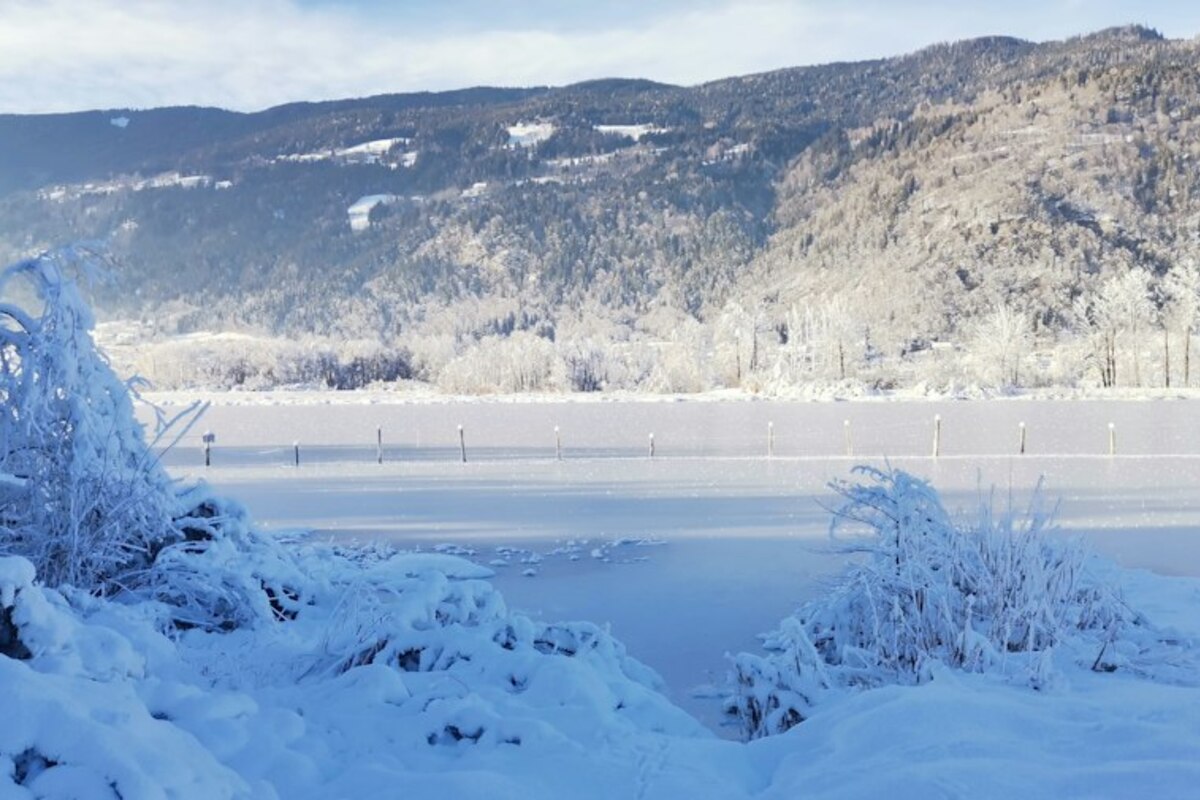
- Large lakes can boost snowfall locally: cold air + warmer lake water = snow showers downwind
- The effect is highly patchy, so a few kilometers can mean winter chaos—or no snow at all
- Knowing the wind direction and the lake’s position helps explain sudden slick roads and snow-loaded roofs
A familiar winter mystery: “Why is it snowing here, but not over there?”
Imagine it’s late November. You check the weather in the morning: “Chance of snow showers.” Nothing dramatic. You drive from a town a few kilometers away and the roads are merely wet. But as you get closer to a large lake, the scene changes fast: the air feels raw, visibility drops, and suddenly you’re following a snowplow. By the time you reach the lakeside, cars are dusted white and sidewalks are already slippery—while your colleague on the other side of a low ridge posts a photo of green lawns.
This isn’t just “mountain weather doing mountain things.” In certain situations, a big lake can actively create extra snow for the areas downwind. It’s similar to the well-known “lake-effect snow” around the Great Lakes in North America—only on an Austrian scale. The result is a very local kind of winter surprise: heavy flakes in one district, almost nothing in the next.
For a project like Postleitzahl.at—where people care about what a place is like in daily life—this phenomenon matters because it can affect commuting time, school mornings, delivery schedules, and even the simple question: “Do I need winter tires today?”

How a lake can help make snow (without any magic)
At first it sounds backwards: water is often associated with milder weather. And it’s true that lakes can soften temperature extremes. But under the right setup, a lake becomes a winter “fuel station” for snow clouds.
Here’s the simple version, step by step:
- Cold air arrives (often from the north or northeast in Central Europe). This air mass is dry and chilly.
- The lake is relatively warmer than the air above it, especially in early winter. Water holds heat longer than land does.
- As the cold air moves over the lake, it picks up heat and moisture from the water surface—like a sponge passing over a warm bath.
- The air becomes more unstable: warmer, moister air near the surface wants to rise, while colder air sits above it.
- Clouds form as the rising air cools and the moisture condenses.
- Snow falls downwind when those clouds reach land again—especially if the air is cold enough throughout the lower atmosphere.
If you want an analogy: picture a bicycle ride on a cold day. Riding through a damp valley makes you feel colder because moisture changes the game. A lake does something comparable to the air: it “loads” it with moisture, and that moisture later comes out as precipitation—sometimes as a concentrated stripe of snow.
This is why the effect is often strongest in early winter. In January, a lake may cool down (and in some cases partially freeze), reducing how much moisture it can add. In late autumn and early winter, the temperature contrast can be at its best: cold air above, relatively warm lake below.
But not every snowy day near a lake is “lake-effect.” The special part is the extra snow that appears because air traveled across the lake and got supercharged with moisture.
Several ingredients need to line up at once:
Cold air passing over warmer lake water creates rising air currents. The bigger the contrast, the more the atmosphere wants to “mix,” and the easier it is to build clouds that can snow.
Cold air passing over warmer lake water creates rising air currents. The bigger the contrast, the more the atmosphere wants to “mix,” and the easier it is to build clouds that can snow.
The air needs a decent “fetch” (distance traveled over the lake) to pick up moisture. A short skim across a corner of water won’t do much; a long path across the lake can.
The air needs a decent “fetch” (distance traveled over the lake) to pick up moisture. A short skim across a corner of water won’t do much; a long path across the lake can.
If the lower atmosphere is near or above freezing, the same mechanism can still produce precipitation—but it becomes rain or wet sleet. For commuters, that can be even trickier than dry snow.
If the lower atmosphere is near or above freezing, the same mechanism can still produce precipitation—but it becomes rain or wet sleet. For commuters, that can be even trickier than dry snow.
Because the ingredients are so specific, lake-effect snow is famously uneven. It often falls in narrow bands—like a stripe painted across the map. One postal code gets 10–20 cm overnight; another just a short drive away gets a dusting.
Here’s a quick “why it’s patchy” cheat sheet:
| What changes? | What it can change on the ground | How it looks in daily life |
|---|---|---|
| Wind direction shifts slightly | The snow band moves a few km | Your street is white; your friend’s is just wet |
| Local hills/forests | Air rises more, snow intensifies on one side | A short hill drive suddenly needs much slower speed |
| Lake surface temperature | More/less moisture in the air | “This time it dumped, last time nothing happened” |
| Air mass dryness | Clouds build or fail to build | Forecast said snow—then it fizzled out |
Where you notice it in Austria: the “downwind stripe” effect around major lakes
Austria doesn’t have inland seas, but it does have large lakes that can influence local weather—especially when a cold air flow crosses them. The best-known candidates are big, open bodies of water with enough surface area for the air to pick up moisture, such as:
- Bodensee (Lake Constance) region (Vorarlberg): wide open water and frequent weather changes make it a classic “watch the lake” area.
- Attersee / Traunsee (Upper Austria): large, deep lakes where cold outbreaks can lead to localized snow showers.
- Neusiedler See (Burgenland): shallow and windy; while it behaves differently from deep alpine lakes, it can still affect humidity and low-level cloud/fog patterns—and in cold snaps can play a role in local precipitation type.
Important: the lake itself isn’t the only factor. The surrounding terrain matters a lot. When the moist, newly “energized” air reaches land, it often rises—because of gentle hills, a valley entrance, or a slope. That lift can be enough to turn clouds into a sustained snow shower.
So instead of thinking “lakeside = snow,” it’s more accurate to think:
- Upwind side of the lake: often calmer, less snowy from the lake effect itself.
- Downwind side: higher chance of lake-boosted snow bands.
- Where air is forced to rise: the snow band can intensify quickly.
A short real-life scenario makes this easier to picture:
Scenario: A cold northerly wind crosses a big lake. On the north shore, you see low clouds and occasional flakes. Twenty minutes later, on the south/east side (downwind), you drive into steady snowfall that suddenly reduces visibility. By afternoon, your driveway needs shoveling—yet your friend a few towns “beside the stripe” has only slush.
This is why it can feel like forecasts “missed it,” even when they didn’t. A regional forecast might be correct (“snow showers possible”), but the exact postal codes that get hit depend on small wind shifts and local terrain.
Why it matters for everyday life: commuting, deliveries, and the “surprise winter morning”
Lake-effect snow is not just a fun weather fact. Its biggest impact is that it can create fast-changing road conditions in a very limited area. That’s stressful because people plan based on what they see outside their own window—and the “window weather” might be completely different 10 km away.
Here are practical ways it shows up in daily routines:
- Commuting time becomes unpredictable: You leave a wet street and hit a snow band on the main road. Traffic slows, braking distances increase, and a normal 25-minute drive becomes 45.
- Public transport knock-on effects: A local bus route that climbs slightly away from the lakeshore can be the first to struggle with traction—while the flatter town center looks fine.
- Deliveries and service visits: A courier’s route that crosses the “snow stripe” may get delayed even if most of the district looks normal.
- School mornings: Parents might see no snow at home, but the school area could be in the band, with slippery sidewalks and wet clothing chaos at the entrance.
- Roof and balcony loads: If the snow comes down in a narrow, intense band for hours, accumulation can be heavier than expected for that elevation—especially with wet snow near 0°C.
If you live or work near a big lake, two simple habits can reduce surprises:
- Check radar, not just the temperature icon: Radar often reveals narrow precipitation bands moving off the lake toward specific towns.
- Think “wind direction” like a local: If the wind is pushing air across the lake toward your area, the chance of sudden snow showers goes up. A small shift can move the band away again.
The big takeaway is not “lakes always mean more snow.” It’s that lakes can create micro-regional winter hotspots—and those hotspots can line up with specific corridors of everyday life: a lakeside road, a valley entrance, a commuter route, or a cluster of postal codes downwind.
Once you’ve experienced it a few times, it becomes a recognizable pattern: calm forecast, cold wind, clouds building over the water, and then—suddenly—your area is in a private snow globe while a neighboring town wonders what you’re talking about.